Park nearby Phoenix Park
Singapore
Park nearby Phoenix Park
Phoenix Park
Phoenix Road Singapore
contacts phone
:
+65
Latitude:
1.3758946
, Longitude:
103.7574406
read more
nearest Park
827 m
Hazel Park Open Space
Hazel Park Terrace, Singapore
Park
read more
907 m
Neighborhood Farm
167 Petir Road, Block 167, Singapore
Park
read more
985 m
Teck Whye Garden
Singapore
Park
read more
985 m
Teck Whye Garden
Singapur
Park
read more
995 m
Teck Whye Garden
203 Choa Chu Kang Avenue 1
Park
read more
1.113 km
Pang Sua Pond
101 Bukit Panjang Ring Road
Park
read more
1.168 km
Bukit Panjang Neighbourhood 5 Park
Jelapang Road
Park
read more
1.175 km
Teck whye park
Park
read more
1.203 km
Bukit Gombak Hill
Singapore
Park
read more
1.226 km
Petir Park
141 Petir Road, Block 141
Park
read more
1.227 km
BIK 126
Petir Road
Park
read more
1.257 km
Bukit Panjang Park
Saujana Road
Park
read more
1.301 km
Cashew Herbal Garden
134 Petir Road
Park
read more
1.517 km
Community Garden
880 Bukit Panjang Rd Singapore 679908 Bukit Panjang Road, Singapore
Park
read more
1.581 km
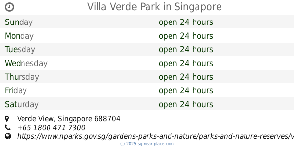
Villa Verde Park
Verde View
Park
read more
1.616 km
BFA Park
423 Fajar Road, Singapore
Park
read more
1.697 km
Choa chu kang mini waterpark
Singapore
Park
read more
1.754 km
Choa Chu Kang Park
Choa Chu Kang Drive
Park
read more
1.849 km
Beauty Garden
20 Bukit Batok Street 32
Park
read more
1.866 km
Dairy Farm Rd Car Park A
2 Dairy Farm Road
Park
read more
1.901 km
Keat Hong Woods
Brickland Road
Park
read more
2.071 km
Segar Park
36 Bukit Panjang Ring Road
Park
read more
2.156 km
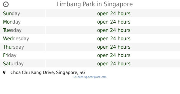
Limbang Park
Choa Chu Kang Drive
Park
read more
2.245 km
Gombak Park
Singapore
Park
read more
2.525 km
Dairy Farm Nature Park
100 Dairy Farm Road
Park
read more
📑
all categories
Accounting
Administrative area level 1
Airport
Amusement park
Aquarium
Art gallery
Atm
Bakery
Bank
Bar
Beauty salon
Bicycle store
Book store
Bowling alley
Bus station
Cafe
Campground
Car dealer
Car rental
Car repair
Car wash
Casino
Cemetery
Church
City hall
Clothing store
Colloquial area
Convenience store
Courthouse
Dentist
Department store
Doctor
Electrician
Electronics store
Embassy
Finance
Fire station
Florist
Food
Funeral home
Furniture store
Gas station
General contractor
Grocery or supermarket
Gym
Hair care
Hardware store
Health
Hindu Temple
Home goods store
Hospital
Insurance agency
Jewelry store
Laundry
Lawyer
Library
Light rail station
Liquor store
Local government office
Locality
Locksmith
Lodging
Meal delivery
Meal takeaway
Mosque
Movie rental
Movie theater
Moving company
Museum
Natural feature
Neighborhood
Night club
Painter
Park
Parking
Pet store
Pharmacy
Physiotherapist
Place of worship
Plumber
Point of interest
Police
Post office
Premise
Real estate agency
Restaurant
Roofing contractor
Route
Rv park, camping
School
Shoe store
Shopping mall
Spa
Stadium
Storage
Store
Subpremise
Subway station
Supermarket
Synagogue
Taxi stand
Train station
Transit station
Travel agency
University
Veterinary care
Zoo
administrative area level 3
administrative area level 4
sublocality level 1
↑